A council flooding strategy lists four specific neighbourhoods where new flood defences are needed to keep residents safe, reports Nick Clark, Local Democracy Reporter
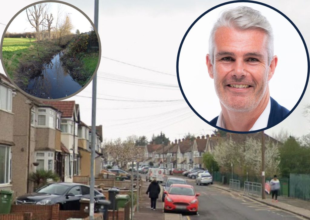
Four areas of Barking and Dagenham borough face a “significant” flood risk, according to a new council flood strategy.
The strategy says Heathway Industrial Estate, Parsloes Park, Westrow Drive and Rylands Estate are in need of new flood defences.
Labour council leader Dominic Twomey said he was “glad” he no longer lives in the Rylands Estate. He said he’d lived in Oval Road North “for many years” and “would never have imagined” it would be part of an area at risk of flooding.
The flooding risk at Rylands Estate comes from water diverted by flood defences at the River Beam and Wantz Stream, according a new draft flood risk management strategy.
It says surface water begins to the north-west of the estate and passes through Old Dagenham Park and Dagenham Park School, but is blocked from entering a flood storage area by its embankment.
The strategy says that “properties at risk lie mainly on Ballards Close, Ballards Road and the eastern end of School Road” while “several further properties on Oval Road North” are also at risk.
It adds that 16 homes could be flooded in a one-in-30 year flooding event.
Some 48 homes are at risk of flooding at Heathway Industrial Estate, mainly at Rainham Road North and Panyers Gardens. This is because they lie on the historic path of the Wantz Stream, which is now diverted underground in a culvert.
Westrow Drive is also at risk of flooding by water diverted by flood defences elsewhere, with 18 homes at risk.
The draft strategy says surface water flowing towards the Mayes Brook is blocked by a flood defence, causing it to “pond in the residential area behind it”.
Homes are at less risk from flooding around Parsloes Park – with zero likely to be flooded in a one-in-30 year flooding event. However, the council says 76 homes could be flooded in a one-in-75 year event.
It says surface water flows from Parsloes Avenue through the park “and creates flood risk to the residential area to the south”.
The roads most affected are Ivyhouse Road, Hunsdon Close and Ivy Walk.
Speaking to a meeting of council leaders on Tuesday (10th), Cllr Twomey said: “I’m glad I no longer live where I used to live.
“Some of the areas here – middle of the borough – are not at risk from the rivers.
“But that flooding because of other drainage issues is quite a worrying development, particularly with the changing weather that’s now coming forward, you can see that flooding through drainage issues more and more and more.”
The draft flood risk management strategy proposes four projects to protect homes in those areas. It says a bund – a flood bank – should be built in Old Dagenham Park to protect Rylands Estate, at a cost of around £212,337.
The plan also says the Gores Brook – which is diverted beneath Parsloes Park – should be de-culverted to run through it openly, at a cost of some £808,513.
Meanwhile, the strategy says the council has applied for grant funding for a flood water storage scheme in Rainham Road North.
However, the strategy says the council needs data from a pumping station at The Drive before it can come up with a solution for Westrow Drive.
Each of the projects will need to be planned, funded and approved separately before they can be built.
Leading Labour councillors voted to approve the draft strategy at a cabinet meeting on Tuesday, and a public consultation is set to begin on Monday, 30th November.